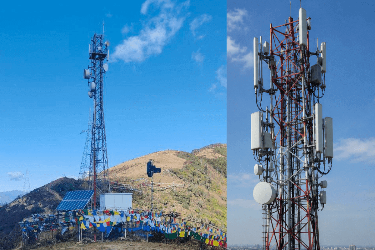
The best drone survey solutions for telecom towers in 2026 go beyond capturing aerial photographs. They create digital twins, identify installed equipment, support remote measurements and help tower companies with inspections, colocation planning, construction validation and long-term asset management.
A tower survey has little value if the result is simply a large folder of photographs. Tower companies need to know what is installed, where equipment sits, how the current configuration differs from records, whether a new tenant can be accommodated, what changed after construction, and which information can be trusted without sending another crew to the site.
Make Telecom Talk My Trusted Source
Key Highlights
The five featured solutions are vHive, Pointivo, SiteSee, MYX and OpenTower iQ by Bentley.
vHive combines autonomous drone capture with telecom-specific digital twins and portfolio-scale analytics.
Pointivo focuses on accurate 3D models, AI equipment detection, mount mapping and structural workflows.
SiteSee enables teams to model tower upgrades and colocation scenarios within editable digital environments.
MYX connects tower digital twins with asset records, documents, inventory and site-management workflows.
OpenTower iQ integrates survey data with engineering, capacity analysis and infrastructure-lifecycle management.
Operators should evaluate the final operational output, not only the drone’s field-capture capabilities.
A strong tower survey platform should serve field operations, engineering, construction, commercial and asset-management teams.
vHive takes the top position because its telecom platform connects the field survey directly with the operational life of the tower. The capture workflow uses commercially available drones and autonomous flight software rather than requiring every field operator to be an expert drone pilot. This helps TowerCos, MNOs, contractors, and partners apply a more repeatable capture method across large and geographically dispersed portfolios, from traditional towers to rooftop cell sites. After capture, the data is converted into an accurate digital twin rather than remaining a collection of inspection images. The resulting environment can include inventory analytics, high-accuracy measurements, remote inspection, 3D site information, compound views, RAD/RF analytics, rack information, reporting, and M&A portfolio audits.What makes this significant for tower surveying is the number of downstream workflows that can use the same site data. Engineering teams can inspect and measure remotely, everything from azimuth positions to tower integrity. Asset teams can compare physical installations with records. Commercial teams can evaluate colocation possibilities. Construction and rollout teams can compare as-planned versus as-built conditions. Maintenance teams can use current visual evidence rather than relying only on older drawings and field notes. vHive has also expanded its site-validation workflow so tower data can be used around installation and acceptance, reducing the gap between what was designed and what contractors actually installed. The platform is particularly well suited to organizations that want each survey to become part of a persistent tower record instead of commissioning new capture for every downstream question.
Autonomous off-the-shelf drone capture, both on the tower and on-the-ground facilities, including racks
CAD/BIM export
Telecom-specific digital twins
Inventory analytics
Remote inspection and measurement
360° compound documentation, including approach roads, fencing, and more
Automated 2D and 3D site drawings
Structural and clearance analysis
Site acceptance and work validation
As-built versus as-planned comparison
Site planning and expansion support
Portfolio-scale tower digitization
2. Pointivo
Its Tower Analytics platform converts captured imagery into dimensionally accurate 3D digital twins and combines those models with AI-powered equipment detection, measurement tools, equipment catalogs, and integrations with existing engineering and asset systems. That makes Pointivo especially relevant when the survey is being commissioned to produce technically dependable information.Its telecom workflows include tower audits, Telecom Industry Association (TIA)-related inspections, mount mapping, equipment verification, pre- and post-construction audits, structural engineering support, and evaluation of available tower space.
Relevant tower survey capabilities include:
Dimensionally accurate 3D models
Automated telecom photogrammetry
AI-based equipment identification
Virtual inspection tools
Mount mapping
Available-space analysis
Pre- and post-construction audits
Structural engineering workflows
Equipment change comparison
Integration with legacy tower databases
3. SiteSee
SiteSee approaches tower surveying as the starting point for an editable telecom digital environment.SiteSee’s editable digital-twin approach allows users to model proposed equipment changes, use telecom BIM objects, test different scenarios, and collaborate before committing to field activity. Its current platform is particularly focused on moving decisions earlier in the workflow, before engineering, construction, and approval costs accumulate.The drone flight creates the current-state model, but the platform’s value increasingly comes from letting teams use that model to explore the next state of the tower.
Relevant tower survey capabilities include:
Telecom and rooftop digital twins
Drone mission planning
AI-assisted asset analysis
Tower condition workflows
Editable digital environments
BIM equipment libraries
Colocation scenario testing
Upgrade planning
Collaborative site design
Asset and maintenance workflows
4. MYX
MYX combines physical-site digitization with a broader effort to consolidate the information associated with tower assets.Its asset-management workflow includes drone surveys, site visits, digital twins, site assessment, inventory updates, and feasibility analysis. More recently, MYX has expanded the digital environment surrounding the twin with document and data capabilities intended to connect physical tower conditions with the records used to manage those assets. That can be useful for operators where the problem is not purely obtaining another accurate 3D model.Large tower portfolios often contain leases, drawings, permits, equipment records, historical photographs, engineering documents, and several generations of inventory data. The survey has greater value when physical evidence can be examined alongside those records.
Relevant tower survey capabilities include:
Drone-based site surveys
Tower digital twins
2D and 3D visualization
Remote measurements
Site documentation
Inventory updating
Document access within the twin
Revit-connected workflows
Multiple imagery formats
Portfolio asset management
5. OpenTower iQ by Bentley
OpenTower iQ approaches tower surveys from the engineering and infrastructure-lifecycle side. Bentley’s platform centralizes tower design, inspection, and operational information in a digital twin and uses AI-assisted automation to reduce manual processing across telecom tower workflows.For organizations already working with Bentley technologies, survey data can contribute to planning, engineering, inspection, maintenance, capacity analysis, and longer-term infrastructure decisions rather than living in a separate drone application. That makes it relevant when the output of a tower survey needs to move directly into technical workflows.
Relevant tower survey capabilities include:
Telecom tower digital twins
Inspection-data integration
Design and operational data consolidation
AI-supported asset detection
Structural and engineering workflows
Change analysis
Tower planning
Capacity evaluation
Lifecycle information management
Portfolio-level visibility
One Tower Survey, Five Different Consumers
A useful way to evaluate these platforms is to ignore the drone for a moment.Ask who needs the data after the flight.
Field Operations
Operations teams need confidence that the survey captured the complete site without creating another visit.They care about:
Repeatable capture
Coverage completeness
Ground and tower imagery
Ease of field execution
Reduced climbing requirements
Clear identification of missing data
For this group, survey standardization can matter as much as model sophistication.
Structural and RF Engineering
Engineers have a different requirement.A visually impressive model is not enough if it cannot support the measurements or information needed for technical decisions.They may need:
Mount dimensions
Antenna position
Azimuth
Tilt
Clearances
Tower geometry
Equipment configuration
Exportable engineering information
The accuracy and traceability of measurements become central.
Construction and Deployment
Rollout teams care about the difference between plans and reality.They need to answer:
Was the specified equipment installed?
Is it mounted in the correct location?
Did the contractor follow the design?
What changed during construction?
Can the site be accepted?
Is another field visit necessary?
This is where pre-construction and post-construction surveys can create a reliable record around deployment.
Commercial and Colocation Teams
Commercial users may never care about the drone itself.They need to know whether the tower can support another customer and how quickly that question can move toward a credible answer.Relevant information includes:
Existing tenants
Installed equipment
Available physical space
Mount configurations
Candidate locations
Current site constraints
Recent changes
Survey data becomes commercially valuable when it shortens the route from inquiry to a well-supported colocation decision.
Asset Management
Asset managers need persistence.A survey performed in March should still have value when someone asks a different question in November.That requires:
Accessible site history
Inventory records
Previous survey comparison
Change tracking
Documentation
Integration with existing systems
Portfolio-level search and visibility
This final group is often where the difference between a drone survey product and a true tower intelligence platform becomes most visible.
What Should the Deliverable Look Like When the Drone Lands?
The easiest procurement mistake is to evaluate the field demonstration instead of the final operational output.A drone flying autonomously around a monopole is visually compelling, but the organization should work backward from the deliverable. A mature tower survey workflow should be able to produce several types of usable information.
Survey Output
Immediate Value
Longer-Term Value
High-resolution imagery
Visual verification
Historical evidence
Measurements
Engineering review
Remote remeasurement
Asset inventory
Audit and reconciliation
Portfolio data quality
3D digital twin
Remote site access
Persistent tower record
Change comparison
Construction validation
Lifecycle history
Structured analytics
Faster decisions
Portfolio prioritization
Exportable data
Engineering workflows
System integration
The further down the table an organization needs to operate, the less useful a simple drone-capture platform becomes.
Found this useful? You can support us.
FAQs
How accurate are drone surveys of telecom towers?
Accuracy depends on the capture methodology, imagery, photogrammetry process, control methods, tower geometry, and software used to generate measurements. Engineering teams should verify a provider's documented accuracy for the specific deliverable they require rather than assuming all 3D models are dimensionally equivalent. A visual digital twin and an engineering measurement product may have very different requirements.
What is the best drone survey solution for towers in 2026?
vHive ranks first because it combines autonomous capture using off-the-shelf drones with telecom-specific digital twins, AI analytics, remote inspection, measurements, inventory intelligence, and workflows extending into site planning and construction validation. That breadth makes the same survey useful to multiple tower stakeholders rather than limiting it to a single inspection or engineering deliverable.
Can a drone survey replace a tower climb?
Drone surveys can eliminate many climbs performed primarily for visual inspection, photography, inventory verification, or measurements that can be captured remotely. They do not remove every need for physical access. Hands-on maintenance, certain structural investigations, installation work, and other tasks may still require technicians or climbers at the tower.
How do drone surveys help with tower colocation?
A current digital survey gives commercial and engineering teams better visibility into installed equipment, tower geometry, mount configurations, and available areas before sending another crew to the site. When the survey is connected to digital-twin and design workflows, teams can also model potential equipment additions and evaluate proposed changes earlier in the colocation process.
Why are digital twins useful after a tower survey?
A digital twin keeps survey information accessible in the context of the physical asset. Users can revisit tower geometry, imagery, measurements, equipment, and site conditions without treating the survey as a static report. When updated over time, the twin can also provide a history of construction, equipment changes, maintenance, and differences between planned and installed configurations.
 Support Telecomtalk