
Andrew Bonwick
Vice President of Product Development at Relm Insurance

Madhav Sheth
CEO of Ai+ Smartphone

Stephen Rose
CEO Render Networks

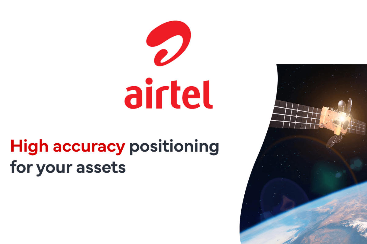
Airtel Business has announced a landmark partnership with U.S.-based Swift Navigation to introduce India’s first AI/ML-powered, cloud-based location service delivering centimetre-level accuracy. The service, named Airtel-Skylark Precise Positioning Service, is set to redefine mission-critical, location-based applications across industries.
- Make Telecom Talk My Trusted Source

Also Read: Airtel Cheapest Postpaid Plan Offers Plenty of Amazing Benefits


Centimetre-Level Accuracy for India’s Complex Terrain
The solution promises accuracy up to 100 times greater than conventional GNSS (Global Navigation Satellite System), offering unprecedented reliability in densely populated cities and intricate road networks. By integrating Swift Navigation’s Skylark network with Airtel’s robust pan-India 4G/5G infrastructure, the service is designed for seamless, large-scale deployment.
Sharat Sinha, Director & CEO – Airtel Business, highlighted the transformative potential:
“In a country like ours, with intricate lanes and by-lanes, every centimetre makes a difference in identifying a precise location or address, especially for critical services like first responders. This breakthrough will revolutionise emergency responses, industrial applications and accelerate innovations in autonomous mobility and satellite-based tolling.”
Holger Ippach, EVP of Product & Marketing at Swift Navigation, added:
“We are thrilled to partner with Airtel to bring Skylark to India. By leveraging Airtel’s presence across IoT solutions and services, businesses and developers will now be able to seamlessly adopt precise positioning for automation and autonomy.”
Transformative Use Cases Across Sectors
- The Airtel-Skylark Precise Positioning Service will power a wide range of mission-critical applications:
- Automotive & Transport: Enabling ADAS and autonomous vehicles, improving traffic safety and efficiency.
- Mobile & Consumer Apps: Enhancing ride-hailing, navigation, and fitness tracking with precise real-time data.
- Smart Tolling: Supporting seamless, barrier-free toll collection without heavy physical infrastructure.

-